
History of the Southern Bug · A guide for general readers
Bug. Boh.
Hypanis.
One river across many centuries. From Herodotus’s riddle and a city that minted dolphin coins to Cossack Hard and the riverbanks that became one city.
Explore the river’s history ↓from Podillia to the Bug Estuary[1]
ancient texts, historical studies and archaeological reports
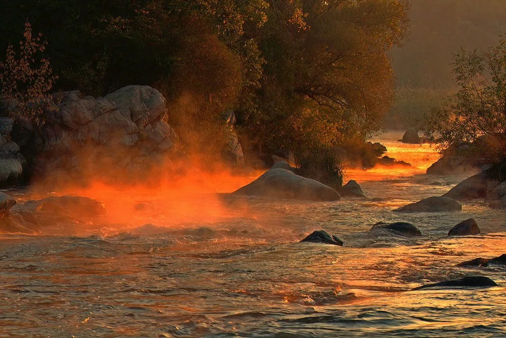
Looking at the rapids, it is easy to think only of water and stone. These banks have seen much more, from fishing settlements and ancient trade to castles, Cossack fisheries and shifting borders. The history of the Southern Bug begins where the landscape becomes a record of the past.
Bug, Boh, Hypanis | One River, Many Stories
The Hypanis in Herodotus’s account of Scythia is identified with the modern Southern Bug. Boh, the name transliterated from Ukrainian, is a historical name for the same river. The modern qualifier “Southern” distinguishes it from the Western Bug, part of the Vistula basin. Each river has its own course.[2][3]
Each name offers a different perspective. Hypanis takes us into the world of classical geographers and Greek settlements by the sea. Boh preserves a historical form found in early accounts and maps. Southern Bug is the name used today on maps, in scientific publications and in conservation documents.
| Name | What to know |
|---|---|
| Hypanis | Ancient name for the Southern Bug in the northern Black Sea region. Its interpretation depends on the geographical context of the ancient text in question.[3] |
| Бог / Boh | A historical form of the name. Its resemblance to the Ukrainian word for “god” is insufficient to explain its origin.[2][5] |
| Southern Bug | The modern name of the river that rises in Podillia and empties into the Bug Estuary.[1] |
Geographer Hryhorii Denysyk gives its length as 806 kilometers. The entire basin lies within Ukraine. The river is relatively calm in its upper reaches. Along the middle course, it cuts through crystalline rock and forms rapids, then the valley widens downstream. These changes in the landscape help explain the remarkably varied livelihoods and settlements that emerged along the same river.[1]
Where did these stories take place?
To read the river’s history, imagine traveling downstream. The towns of Podillia tell a story of castles, municipal law and trade. Near Pervomaisk, the Syniukha joins the Bug. Farther down are the rapids and Cossack Hard, followed by Olbia on the right bank of the estuary.[1][8][16]

People lived beside the Bug long before the Greeks
Herodotus would make a convenient starting point for the history of the Bug, but it would miss the much older communities that left traces on its banks. Mykola Tovkailo describes Bug–Dniester settlements on river terraces and islands. Finds include dwellings with hearths, flint knives and scrapers, stone querns, bone tools and decorated pottery.[6]
These objects tell us about everyday work. A knife or quern tells a different story from a sword or royal inscription, revealing how people prepared food, worked with materials and organized their households. According to Tovkailo, hunting and fishing were important in the earlier stages, and herding and farming gained importance over time.[6]
The Hard site is especially revealing. The Institute of Archaeology reports sites with multiple layers, where Neolithic material lies alongside traces of earlier and later periods. The bank is like a book with its pages stacked one above the other. Archaeologists read them by looking at the position of each find as well as the object itself.[7]
The Bronze Age adds another chapter. At Buzke, researchers examined a so-called “metalworkers’ quarter.” At Vynohradnyi Sad, they found a large complex for drying and storing grain. The ancient Bug valley was home to specialized crafts and economic activities. The river was part of the everyday landscape where people worked and laid in provisions.[7]
Herodotus and the mystery of the “bitter spring”
In Book IV of the Histories, Herodotus lists the Hypanis among the rivers of Scythia. His account begins almost like a fable. The river flows from a great lake where wild white horses graze. He says that the water stays fresh for five days’ journey, then turns intensely bitter when it mixes with water from a small spring.[4]
Herodotus calls the spring and the surrounding area Exampaeus and gives the Greek equivalent as “Sacred Ways.” He also places it on the boundary between the Scythian farmers and the Alazones. His account is about water, travel and the people who inhabited different parts of his mental map.[4]
The account remains interesting despite its inaccuracies. It shows how an ancient writer collected information and made unfamiliar places intelligible to his readers. Two questions guide the reading. What does the source actually say? What can we corroborate with other evidence?
Olbia | Dolphins, Trade and the Memory of Homer
Olbia, an ancient Greek polis associated with settlers from Miletus, arose on the right bank of the Bug Estuary. Its Greek name translates as “fortunate.” Serhii Kryzhytskyi describes the surrounding countryside, crafts and trade.[8]
One of Olbia’s most striking details is tiny. The city cast bronze coins in the shape of dolphins. They remind us that money has taken many forms besides familiar round discs. Archaeologists are also studying temples, residential quarters and workshops.[8]
A human voice enters the story with Dio Chrysostom. In his Borysthenitic Discourse, he portrays a city that survived destruction and recounts a conversation with the young Callistratus. The young man reveres Homer and Achilles so much that he takes offense at a playful comparison of Homer with another poet. It is an unexpected scene. On a distant estuary shore, people are arguing about literature.[9]
Dio was a rhetorician and philosopher, and his discourse is a carefully composed literary work. It shows how he understood civic life and cultural memory on the frontier.
Even the date of the city’s end can change
Kryzhytskyi’s 2010 encyclopedia article dated the end of urban life in Olbia to the 4th century CE. The National Academy of Sciences of Ukraine’s report on the 2021 season describes a residential and working complex dating from the late 4th and early 5th centuries. The new evidence extends the known chronology of parts of the site.[8][10]
The expedition led by Alla Buiskykh examined the fortified settlement, the suburbs and the necropolis. Among its observations in the late complex was a room with a floor laid with selected potsherds. A detail like this offers a glimpse of daily life in a city whose history is still being explored.[10]
Castles, municipal law and roads between the banks
The story takes on a different setting in the river’s upper and middle reaches. The towns of Podillia grew beside the water. Bratslav is mentioned in records from 1362, though archaeological sites there are older. The town had a castle, was granted Magdeburg rights and gave its name to a large administrative region.[11]
Vinnytsia’s history also shows why a date of foundation can be misleading. The Encyclopedia of Modern Ukraine distinguishes the traditional date, associated with the Koriatovych princes, from earlier evidence of settlement. The castle may have been built or restored in a community that already existed.[12]
The Bratslav Voivodeship was established in 1566 within the Grand Duchy of Lithuania and incorporated into the Kingdom of Poland in 1569. The castles at Bratslav and Vinnytsia were important defensive strongholds. Changes of rule shaped law, government and urban life along the river.[13]
Travelers used land routes as well as the river. Historian Volodymyr Pryshliak describes the Bratslav Road, which ran through Zvenyhorodka to Cherkasy, where it joined the road to Kyiv. The town on the Bug was part of a network of overland routes. On an old map, look at the roads that cross the river as well as the blue line of the river itself.[14]
In the Cossack era, Bratslav became the seat of a regiment. Dmytro Vyrskyi describes the town’s role in the events of the 17th century, its defense and its devastation during the Ruin. This is another reason to look closely at the differences along the Bug. Podillia, with its castles, and the Zaporizhian stretch of the Bug had distinct ways of organizing life.[11]
How a fishing structure gave Hard its name
Hard may sound like the name of a fortress, but on the Bug the word referred to structures used to catch fish. It passed into the names of the site and nearby places. As the national park explains, this term from fishing survives in the names of Hardovyi Island, a ravine and a road.[17]
During the era of the New Sich (1734–1775), the Buhohard palanka was an administrative district of the Zaporizhian lands. Its center, Hard, was near present-day Bohdanivka. Dmytro Vyrskyi writes about commercial fishing, district administration and frontier service.[15]
This episode brings ordinary livelihoods back into Cossack history. A military community needed food, housing, occupations and rules for living together. The river was a place of work, where the water’s natural properties had practical value. Today the rapids draw the eye as a landscape. The story of Hard adds the people who made a living here.
The name Buhskyi Hard therefore preserves two memories, one of the landscape and one of how people used it. The name takes on meaning when we see the livelihood and the community behind it.
Pervomaisk | Three Settlements Become One City
Where the Syniukha flows into the Southern Bug, the story almost reads like a map. Three settlements once stood close to one another: Olviopil, Bohopil and Holta. They later merged into Pervomaisk. The name Bohopil preserves a particularly clear echo of the river’s historical name.[16]
Yaroslava Vermenych traces the development of neighboring settlements with different administrative histories. Bohopil stood on the Polish bank from 1750. Holta, founded by Ukrainian Cossacks and runaway peasants, belonged to Ottoman territory from 1764. The Orlyk fortification that preceded Olviopil had a longer history of its own.[16]
The change in the role of this place is itself revealing. A legal boundary does not always sever economic ties. A later city can preserve several older centers. The rivers and the former names of the settlements reveal aspects of Pervomaisk’s history that a single founding date cannot capture.
How to read an old map of the Bug
A modern map helps us find a place. A historical map also reveals what mattered to its maker, whether fortifications, crossings, river mouths, cities or lines of travel. The size of a label or the care with which an area is drawn may have little relation to its present-day population. Every map has its purpose and its limits.

On Beauplan’s map, south is at the top. The familiar convention of putting the sea at the bottom does not apply here. To find the river, match the towns and the river mouth against known locations.

Start with three questions. When was the map made, where is north and what do the symbols mean? Next, check a few familiar landmarks against present-day geography. Then look for historical names. This approach keeps us from mistaking an old line on the map for an exact modern boundary.
Herodotus describes a shared outlet to the sea for the Hypanis and the Borysthenes. An 18th-century map, however, cannot by itself tell us what the landscape looked like in antiquity.[4]
What we protect when we protect the river
The history of the Bug valley continues in archaeological work and landscape conservation. The national park describes the long process of securing national protection for the valley. In 1994, the Granitic-Steppe Lands of the Bug regional landscape park was established here. Ukrainian zoologist and conservationist Serhii Tarashchuk played an important role in its history.[17]
Protecting a place like this means caring for the rocks, the water and the evidence of its past. An archaeological find has value in context, alongside its location, layer and neighboring objects. When removed from that setting, part of its story disappears. Think of a book. One beautiful word cannot replace the sentence it was taken from.
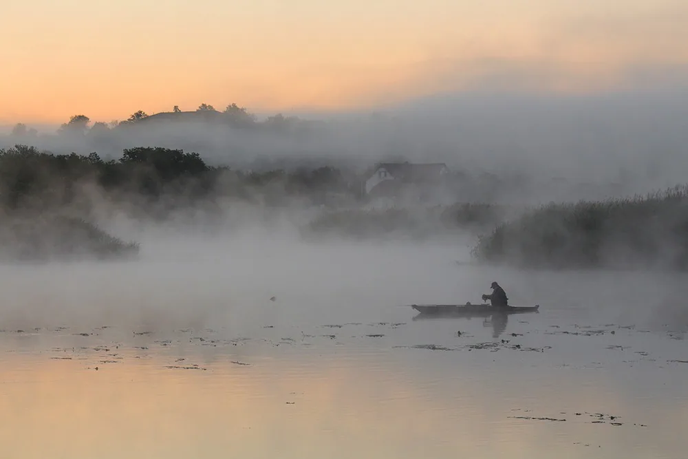
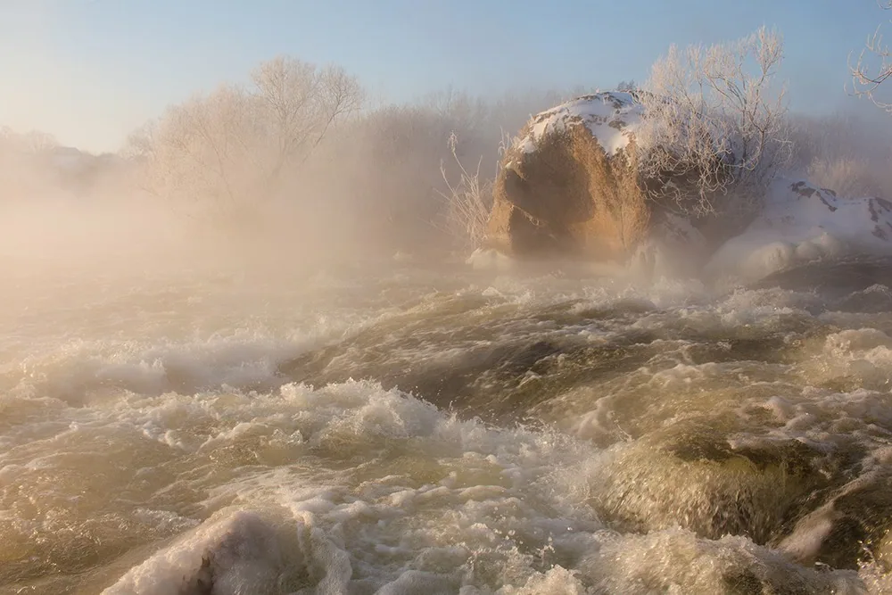
In Oleksandr Ignatiev’s photographs, the river holds the light of a single moment. In the work of historians and archaeologists, it takes on a different scale of time. Together, these perspectives let us see a familiar riverbank as the setting for a long human history.
Through the centuries
The river’s history in eight stops
Bug–Dniester settlements on river terraces and islands.[6]
Craft and production complexes at Buzke and Vynohradnyi Sad.[7]
Formation of Greek Olbia near the Bug Estuary, according to the encyclopedia account.[8]
Herodotus describes the Hypanis in Book IV of the Histories.[4]
Establishment of the Bratslav Voivodeship and its transfer to the Kingdom of Poland.[13]
The Buhohard palanka during the era of the New Sich.[15]
Decision to unite Olviopil, Bohopil and Holta into Pervomaisk.[16]
Report on new research into late antique Olbia.[10]
Frequently asked questions about the Bug, Boh and Hypanis
Are the Hypanis and the Southern Bug the same river?
Yes. The Hypanis in Herodotus’s account of Scythia is identified with the Southern Bug. Both the author and the geography of his account matter when interpreting the name.[3][4]
Why is the river called Boh?
Boh is a historical name for the Southern Bug. Linguists have examined its origin. Its resemblance to the Ukrainian word for “god” alone does not establish a meaning of “divine river.”[2][5]
Do the Southern Bug and Western Bug meet?
They are two separate rivers. The Southern Bug flows into the Bug Estuary. The Western Bug is part of the Vistula basin.[1][2]
What does the name Hard mean?
On the Southern Bug, hard was the name for a structure used to catch fish. The term survives in the names of the site and nearby places. Hard was the administrative center of the Buhohard district.[15][17]
Where can we find traces of the river’s classical past?
Start with Olbia on the right bank of the Bug Estuary and the scholarly publications about its excavations. Sites farther upstream also preserve traces of much earlier eras.[7][8]
Do we know the exact location of Herodotus’s “bitter spring”?
We leave it unmarked on the maps. The ancient description gives too little evidence to identify a particular spring today with confidence. What survives is Herodotus’s account of Exampaeus.[4]
Fact-checking and further reading
Sources, historians and illustrations
The researchers’ accounts are paraphrases of their published work. Ancient testimony and modern conclusions are treated separately. Disputed identifications are marked as such.
- Denysyk, H. I. Southern Bug. Encyclopedia of Modern Ukraine, 2023, updated in 2026. Geography and relief. Read the source ↗
- Canadian Institute of Ukrainian Studies. Boh River. Internet Encyclopedia of Ukraine. The historical name Boh and the distinction from the Western Bug. Read the source ↗
- Nazarov, V. V. Hypanis. Encyclopedia of the History of Ukraine, vol. 2, 2004. Ancient accounts of the river. Read the source ↗
- Herodotus. Histories, Book IV, §§ 52–53. English translation by A. D. Godley, Loeb Classical Library, 1921, via LacusCurtius. Paraphrased in the Ukrainian original. Read the source ↗
- Luchyk, V. V. Etymological Dictionary of Ukrainian Place Names. Kyiv, Akademiia, 2014. “Bug (Southern)” entry. Publication description on the website of the Institute of Linguistics of the National Academy of Sciences of Ukraine. Read the source ↗
- Tovkailo, M. T. Bug–Dniester culture. Encyclopedia of the History of Ukraine, vol. 1, 2003. Settlements, tools and livelihoods. Read the source ↗
- Institute of Archaeology, National Academy of Sciences of Ukraine. Mykolaiv (Inhul) Expedition. Research materials from Hard, Buzke and Vynohradnyi Sad. Read the source ↗
- Kryzhytskyi, S. D. Olbia. Encyclopedia of the History of Ukraine, vol. 7, 2010. History of the city and its economy. Read the source ↗
- Dio Chrysostom. Borysthenitic Discourse, 36, §§ 6–14. English translation at LacusCurtius. The scene with Callistratus is paraphrased in the Ukrainian original. Read the source ↗
- Press Office of the National Academy of Sciences of Ukraine. The Olbia International Archaeological Expedition Concludes This Year’s Field Season. 6 September 2021. Report on the expedition led by Alla Buiskykh. Read the source ↗
- Vyrskyi, D. S. Bratslav. Encyclopedia of the History of Ukraine, vol. 1, 2003. Town, castle and Cossack regiment. Read the source ↗
- Encyclopedia of Modern Ukraine. Vinnytsia. 2005. The city’s development on the banks of the Bug and accounts of its founding. Read the source ↗
- Panashenko, V. V. Bratslav Voivodeship. Encyclopedia of the History of Ukraine, vol. 1, 2003. Administrative history of the region. Read the source ↗
- Pryshliak, V. V. Bratslav Road. Encyclopedia of the History of Ukraine, vol. 1, 2003. The road from Bratslav to Cherkasy and Kyiv. Read the source ↗
- Vyrskyi, D. S. Buhohard palanka. Encyclopedia of the History of Ukraine, vol. 1, 2003. Hard, fishing and the organization of the district. Read the source ↗
- Vermenych, Ya. V. Pervomaisk. Encyclopedia of the History of Ukraine. Olviopil, Bohopil, Holta and the merger of the settlements. Read the source ↗
- Buhskyi Hard National Nature Park. History of the Park’s Establishment. The park’s official website. Origin of the name hard and history of conservation in the valley. Read the source ↗
Visual materials
The original photographs are by Oleksandr Ignatiev, who retains the rights. They show the river as it is today. The downstream guide was drawn for this article and is not to scale. Map sources and terms of use appear below each map.
The maps come from Wikimedia Commons, with copies hosted on this site. Each map links to its source and high-resolution original. The license terms apply to each respective map. Ignatiev’s photographs are covered by separate rights.